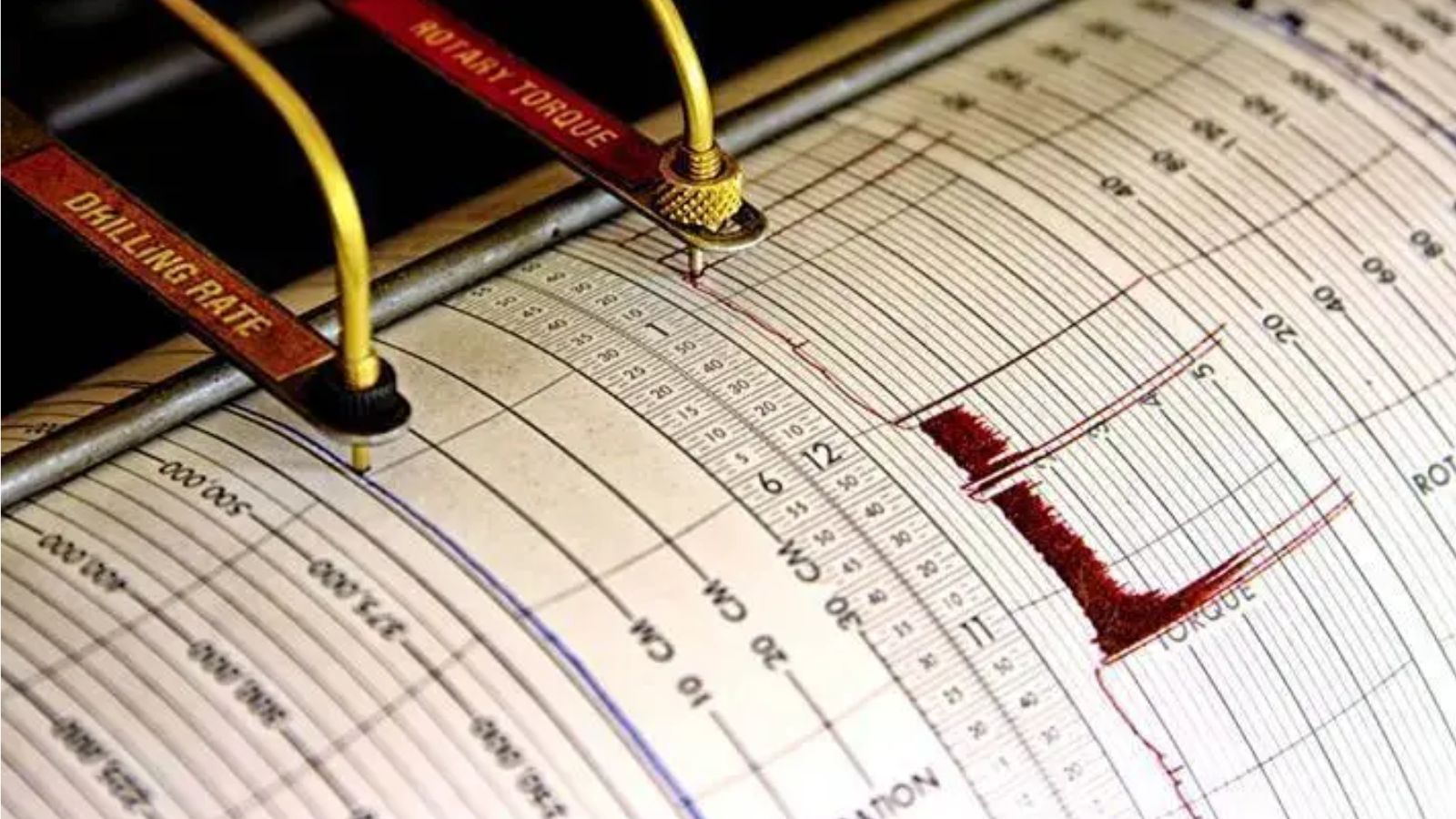
A magnitude 7.7 earthquake tore through the floor of the Flores Sea early Saturday morning, sending violent tremors across Indonesia's East Nusa Tenggara province and triggering an immediate tsunami warning that forced coastal residents and tourists to flee for higher ground. The shallow undersea tremor—pegged at a depth of roughly 10 kilometers by the US Geological Survey—struck just north-northwest of the city of Ende, waking communities before dawn with violent shaking capable of buckling poorly engineered structures.
Indonesia’s Meteorology, Climatology and Geophysics Agency, known as BMKG, rushed out automated alerts ordering people away from beaches and riverbanks. Yet behind the standard emergency broadcasts lies a far more fragile reality. Decades after catastrophic regional disasters reshaped global seismology, the margin between survival and mass casualty in the archipelago remains paper-thin.
The Physics of Shallow Destruction
Depth dictates disaster. When a 7.7-magnitude rupture occurs at a shallow depth of 10 kilometers, the seismic energy has minimal rock mass to dissipate through before slamming into the surface.
The earth buckles differently under these conditions. High-frequency waves dominate, shaking ordinary masonry and unreinforced concrete until they disintegrate. For the half-million people exposed to severe ground motions during Saturday's event, the primary threat was not merely the magnitude number on a seismograph. It was the vertical component of the acceleration.
Shallow offshore faults carry an insidious double threat. They displace the seabed vertically. When an oceanic plate slips upward or downward rather than sliding purely horizontally, it shoves an entire column of seawater upward. That displacement forms the genesis of a tsunami.
BMKG's models reacted within minutes, projecting wave action based on real-time data feeds from coastal tide gauges and offshore sensors. But sensors only buy time if the infrastructure on land can process and act on that warning before the water arrives. In regions dotted with isolated island communities and rugged terrain, communication lines often fail at the exact moment endurance is tested.
The Geography of Constant Risk
Indonesia does not experience earthquakes as anomalies. They are a permanent condition of geography.
The nation sprawls across more than 17,000 islands straddling the Pacific Ring of Fire, an active horseshoe-shaped belt of seismic trenches and volcanic arcs. Here, the Indo-Australian Plate grinds relentlessly beneath the Eurasian Plate, locking and releasing energy with staggering force.
[Indo-Australian Plate] ---> [Subduction Zone Trench] ---> [Eurasian Plate / Island Arc]
                                         |
                            (Shallow Offshore Rupture)
                                         |
                            [Seabed Displacement / Tsunami]
Flores Island itself sits inside a volatile tectonic knot. To its north, the Flores Back-Arc Thrust system acts as a geological tripwire. Historical precedent here is unforgiving. In December 1992, a magnitude 7.8 earthquake struck near the island, generating a devastating tsunami that claimed over two thousand lives.
When Saturday's tremor hit near Maumere and Ende, emergency planners recognized the signature immediately. The parameters mirrored historical nightmares. The post-dawn timing meant thousands of residents were active near vulnerable coastal zones, including local fishers and hospitality workers servicing the region's tourism footprint.
The Tourism Vulnerability Equation
Economic growth in East Nusa Tenggara has long prioritized coastal expansion. Beachfront resorts, dive operations, and transport hubs have multiplied along the shoreline to capture international and domestic traffic.
This development model creates a stark structural paradox. Tourists flock to tropical shorelines precisely for their low-lying, unobstructed ocean access. Those exact geographical features maximize exposure to seismic sea waves.
Consider a hypothetical coastal hotel built fifty meters from the high-tide line on Flores. Standard building codes mandate structural reinforcement against horizontal wind loads and moderate ground shaking. They rarely account for the hydrodynamic battering ram of a three-meter wall of water carrying debris, vehicles, and shattered infrastructure.
When BMKG issues a tsunami warning at sunrise, hotel operators face an immediate information vacuum. International guests rely on translation apps or cellular data networks that can bottleneck under sudden spikes in regional traffic. Local staff must translate complex technical guidance from state agencies into immediate, physical evacuations across fragmented terrain. Vertical evacuation shelters—engineered concrete towers designed to withstand both shaking and inundation—remain scarce outside major urban centers like Jakarta or Padang.
The Logistics of Rapid Response
Initial reports following Saturday's quake indicated no immediate confirmed casualties or widespread structural collapses, though damage assessments across remote pockets of Flores remained ongoing. Relief logistics in an archipelagic nation are notoriously complicated.
Airports with short runways can suffer cracked tarmac during intense ground acceleration. Secondary roads traversing mountainous interiors routinely block due to landslides triggered by aftershocks. In the hours following the main shock, three distinct aftershocks—measuring up to 6.1 in magnitude—struck the same zone. Each subsequent jolt reset anxiety levels and complicated recovery operations, threatening structures already weakened by the initial wave of energy.
National disaster management authorities coordinate relief from central hubs, but decentralized execution depends entirely on local preparedness committees. Sirens installed after previous disasters require constant maintenance, battery replacements, and community drills. Where local funding drops, maintenance lapses. A silent siren during a midnight or early morning alert chain transforms a technical early warning into a silent failure.
The Persistent Shadow of Uncertainty
Scientific instruments have advanced exponentially since the catastrophic Indian Ocean disaster of 2004. Subsea pressure sensors, GPS displacement networks, and automated seismic inversion algorithms allow geophysicists to characterize fault ruptures within minutes rather than hours.
Yet technology cannot completely conquer human friction or geological unpredictability. An earthquake's magnitude and epicenter provide coordinates, but they cannot predict the exact local amplification effects caused by soft coastal sedimentary basins or funnel-shaped bays that amplify wave heights.
As aftershocks continue to rattle the Flores Sea and local authorities downgrade or maintain coastal restrictions based on continuous tide gauge monitoring, the underlying vulnerability of the region remains unchanged. The 7.7 shock serves as another stark reminder that living along the margin of the Ring of Fire requires a perpetual state of readiness where complacency is the most dangerous variable of all