Satellites see everything, but they don't always catch the full story before it vanishes.
A high-resolution satellite lens captured a clear, reflective object sitting right on the reef flat near the lagoon entrance of Scarborough Shoal. Days later, it was completely gone. For a deeper dive into similar topics, we suggest: this related article.
If you follow the escalating tensions in the South China Sea, you know this isn't just a random piece of marine debris. It is a highly calculated move in a dangerous game of geopolitical chess. Commercial satellite company Vantor and the US-based maritime monitoring group SeaLight both verified the object's brief existence. Manila is scrambling for answers, while Beijing remains silent.
This disappearing act tells us exactly where the next major maritime conflict is headed. For additional context on this development, detailed coverage can also be found at Al Jazeera.
The Mystery Object at the Lagoon Gate
Let's look closely at the timeline. Between May 27 and May 30, satellite photography flagged a mysterious, highly reflective structure positioned at the opening of Scarborough Shoal. SeaLight analysts confirmed the object was a persistent physical feature, ruling out a simple glint of light or a camera trick.
Alongside this object, images from May 27 and May 29 exposed a familiar sight: a barrier stretching directly across the mouth of the lagoon. Experts believe the mystery structure was likely a heavy floating raft or an anchor buoy designed to hold those very blockades in place.
Then came June 1. A fresh satellite pass by Vantor showed empty water. The object had vanished.
Timeline of the Scarborough Shoal Incident:
May 27–29: Satellite images show a barrier and a reflective structure at the lagoon mouth.
May 30: Philippine Defense Secretary Gilberto Teodoro receives raw intel on the structure.
June 1: New satellite imagery reveals the structure has completely vanished.
June 3: Manila officially launches an investigation into the incident.
This fast deployment and retraction happened right under the nose of international monitors. It occurred just as the Philippine and US forces wrapped up their third major joint maritime exercise of the year in these exact waters. China even ran its own military and coast guard patrols nearby on the subsequent Sunday.
The message from Beijing is clear: we can seal this lagoon whenever we want, and we can do it overnight.
Why Scarborough Shoal is a Permanent Flashpoint
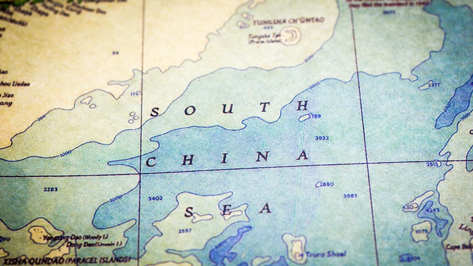
You might wonder why a tiny, submerged coral atoll matters so much. Scarborough Shoal, which Beijing calls Huangyan Dao, sits just 120 nautical miles from the Philippine main island of Luzon. It is way inside the 200-nautical-mile Exclusive Economic Zone (EEZ) belonging to Manila. Yet, China has held de facto control over it since a tense standoff in 2012.
For Filipino fishermen, the atoll is a vital sanctuary. Its turquoise lagoon offers the only safe shelter from violent storms for miles around. It is also a rich, traditional fishing ground.
Distance Breakdown:
- Distance from Scarborough Shoal to Luzon, Philippines: ~120 nautical miles
- Philippines' Legal Exclusive Economic Zone (EEZ) Boundary: 200 nautical miles
- Status: Seized by China in 2012; international tribunal ruled the blockade illegal in 2016.
The Permanent Court of Arbitration in The Hague blew up Beijing's legal arguments back in 2016. The tribunal explicitly ruled that blocking fishermen from this atoll violates international law. China ignored the ruling entirely.
Instead, the Chinese Coast Guard uses water cannons, aggressive blocking maneuvers, and floating barriers to keep Filipinos out. This latest disappearing structure is just a continuation of that gray-zone strategy. It is an intentional effort to alter the status quo without triggering an actual war.
The Psychological Warfare of Gray-Zone Tactics
China relies on these temporary structures for a specific reason. Building a permanent concrete island at Scarborough Shoal—like they did at Mischief Reef or Subi Reef—would cross a massive red line for Washington and Manila. It could trigger the US-Philippines Mutual Defense Treaty.
So, Beijing tests the limits. They drop a raft, string up a barrier, watch how the world reacts, and pull it back before things boil over. It is a calculated pattern of psychological warfare.
This tactic forces the Philippine military to waste valuable time, energy, and intelligence assets chasing ghosts. By the time Manila registers a diplomatic protest or sends a patrol boat to investigate, the evidence has already been towed away. This leaves international observers debating whether anything was ever there at all.
What Happens Next
If you think this game of hide-and-seek will slow down, you are mistaken. The regional friction is only getting worse. Manila is actively upgrading its own facilities on the islands it still holds, like the runway expansion on Thitu Island and port upgrades on Nanshan Island.
The time for passive monitoring is over. To counter these vanishing threats, maritime security requires a shift in strategy.
- Demand Real-Time Satellite Feeds: Relying on commercial imagery that takes days to process plays right into Beijing's hands. Government agencies need automated, high-frequency radar imaging that pierces through cloud cover and provides hourly updates.
- Deploy Long-Endurance Drones: Regular drone patrols over the mouth of Scarborough Shoal can document the physical installation of barriers in real time, capturing undeniable video proof before structures are pulled back.
- Expose Every Move Publicly: Manila's current strategy of immediately releasing coast guard videos of Chinese aggression is working. Shining a spotlight on these brief tactical installations strips away the deniability that Beijing relies on.
Expect to see more of these mystery objects appearing and disappearing in the months ahead. Each one is a test of collective resolve.