The Sacramento-San Joaquin Delta operates under a fundamental physical deficit. When nineteenth-century reclamation efforts drained the region's native marshes to establish agricultural production, engineers initiated an irreversible biochemical decay. Exposing organic-rich peat soils to oxygen triggered rapid aerobic oxidation. Soil microbes consumed the organic matter, converting solid peat into carbon dioxide and releasing it into the atmosphere. This microbial oxidation, compounded by wind erosion and intensive tilling, caused the land surface to subside at rates averaging one to three inches per year.
Today, islands such as Webb Tract sit twelve to twenty-five feet below sea level. This dramatic topographical depression creates an immense hydrostatic pressure gradient between the surrounding river channels and the interior island surface. The burden of holding back these water bodies rests entirely on a perimeter network of earthen levees. As the interior land continues to drop, the effective height of these levees increases, escalating the structural load on their foundations. A breach in this perimeter does not merely flood a field; it destabilizes the regional water supply infrastructure for millions of Californians who depend on the Delta as an export hub.
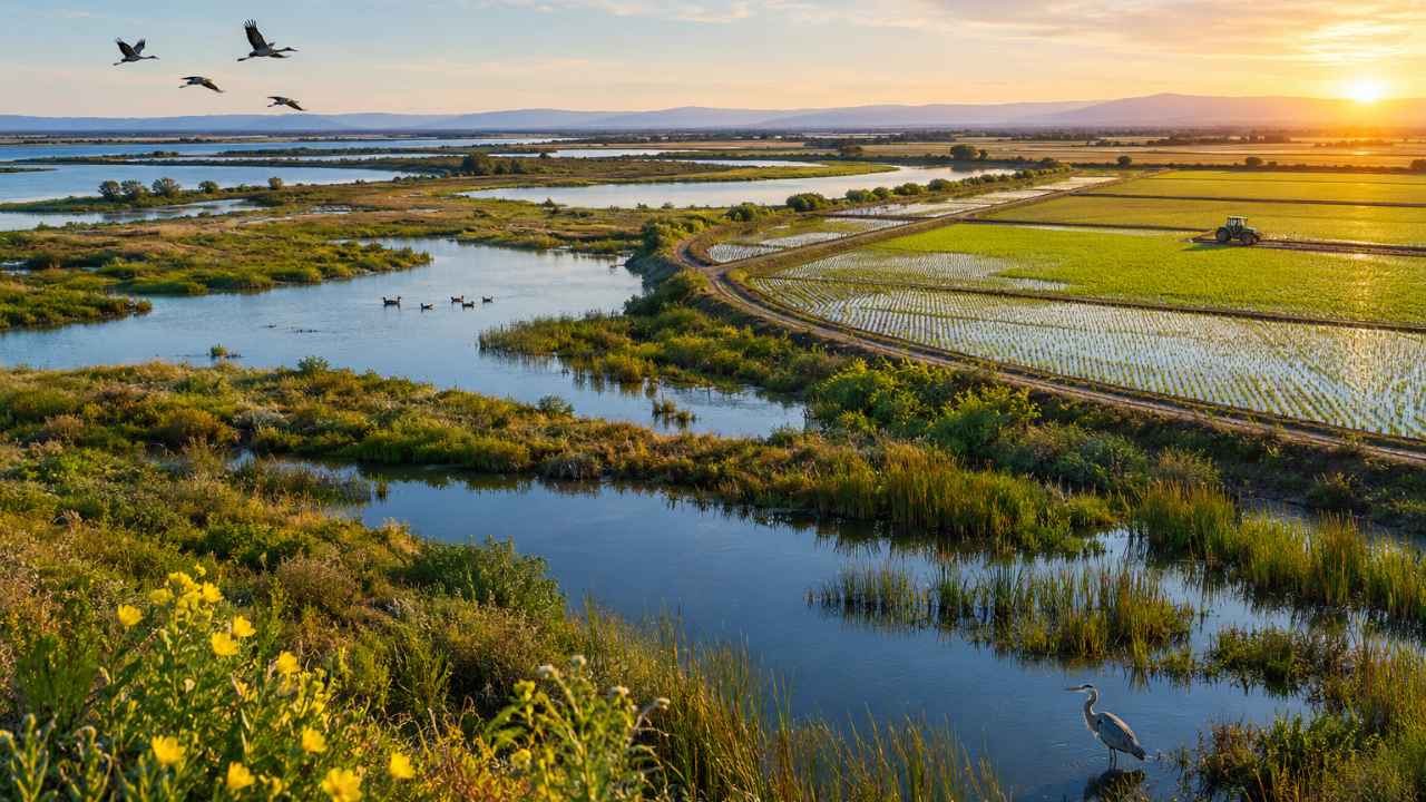
To counter this trajectory, the Metropolitan Water District of Southern California and the Sacramento-San Joaquin Delta Conservancy initiated a multi-benefit landscape restoration across 2,800 acres of Webb Tract. The initiative departs from traditional agricultural management by engineering a dual-zone land-use model: approximately 1,900 acres dedicated to emergent wetland restoration, supplemented by transitional seasonal wetlands, open-water habitats, and over 1,300 acres allocated to commercial rice cultivation.
The physical mechanics of subsidence reversal depend entirely on suppressing soil oxygen exposure. Peat preservation requires an anoxic environment. When water covers the soil profile, oxygen diffusion rates drop by orders of magnitude, effectively starving the aerobic microbes responsible for peat consumption. Both managed wetlands and flooded rice agricultural systems establish this necessary hydraulic seal.
Rice cultivation serves a functional dual purpose within this geo-engineering strategy. Beyond arresting subsidence by maintaining a saturated root zone during the growing season, rice farming acts as an economic bridge. The operational costs of managing thousands of acres of raw wetland are substantial. By leasing land for rice production—specifically parcels that incorporate winter-flooding practices—the project generates agricultural yield while simultaneously providing surrogate wetland habitats for migratory waterfowl, shorebirds, and native aquatic species such as the giant gartersnake.
The financial architecture of the Webb Tract project relies on an estimated $28 million capital allocation, anchored by a $20.9 million grant from the Delta Conservancy via its Nature-Based Solutions program, with the remaining balance covered by Metropolitan. However, the long-term operational viability of the project introduces a distinct revenue mechanism: carbon credit generation.
Baseline environmental monitoring on Webb Tract confirmed that pre-restoration agricultural emissions from exposed peat were significantly higher than standard regional estimates. By transitioning these oxidized fields into permanently saturated wetlands and low-emission rice crops, the net reduction in greenhouse gas emissions can be quantified, verified, and certified as carbon offsets.
The economic thesis dictates that these carbon credits can either be retired internally by Metropolitan to offset institutional emissions or monetized on the open carbon market. The resulting capital stream is designed to self-fund the ongoing maintenance, vegetation management, and levee monitoring required to sustain the restored landscape over decades. This creates a closed-loop financial model where ecological restoration pays for its own physical upkeep.
Despite the structural advantages of the wetland-rice matrix, the strategy faces notable operational constraints. The first limitation involves water availability. Maintaining saturated soils across thousands of acres requires reliable, high-volume water rights, a scarce commodity during multi-year drought cycles in California. If water allocations to the Delta are curtailed, maintaining the required inundation depths becomes operationally complex and politically contentious.
The second constraint centers on ecological trade-offs. Converting agricultural land to managed wetlands alters the local economic output and labor demand of Contra Costa County. While the project incorporates indigenous perspectives via an ecocultural working group—notably integrating culturally significant native species like the Bay Miwok evening primrose—balancing public water reliability, flood protection, and local agricultural preservation requires continuous calibration.
The transition of Webb Tract from a net carbon emitter and subsiding basin into a stabilized, dual-purpose wetland and agricultural matrix provides a scalable blueprint for Delta management. Project execution requires phasing the engineering milestones across distinct operational windows: finalizing rice lease awards and securing environmental permits, executing large-scale earthwork for berm and channel improvements, and initiating the primary hydrological flooding phase. Success hinges on empirical verification of carbon sequestration rates and the structural integrity of internal water control infrastructure over a ten-to-twenty-year horizon.