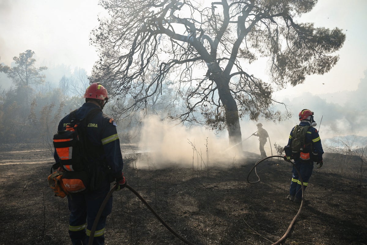
Coastal tourism infrastructure operates under a persistent, unacknowledged systemic vulnerability: the high-density linear escape route paired with high-occupancy transient populations. When an extreme wildfire event, driven by high winds and severe drought, breaches the perimeter of a destination like Rhodes or similar Mediterranean resort zones, standard evacuation models collapse. The operational failure is not merely meteorological; it is a structural breakdown in supply chain logistics, municipal coordination, and real-time communication under conditions of high uncertainty.
Understanding why hundreds of tourists must be rescued by maritime vessels rather than terrestrial transport requires deconstructing the physical geography, the information asymmetries inherent to tourism economies, and the precise failure points of municipal emergency execution. Also making waves in related news: Global Aviation Shifts The Anatomy Of Incheons Rise To The Top.
The Structural Constraints of Coastal Tourism Geography
Resort developments maximize property valuation through spatial proximity to the shoreline. This creates a specific topographical configuration: high-density commercial assets clustered along a narrow coastal strip, backed by steep, heavily vegetated interior terrain, often accessible via a single primary coastal highway.
[Inland Wildfire Source]
       ↓ (Driven by Wind/Slope)
[Vegetated Interior Corridor] (High Fuel Load)
       ↓
[Single Access Coastal Highway] (Bottleneck / Failure Point)
       ↓
[High-Density Resort Strip]
       ↓
[Mediterranean Coastline] (Maritime Extraction Zone)
This geography creates a high-consequence failure mode during a crisis. More details on this are covered by Condé Nast Traveler.
The Single-Axis Bottleneck
Most Mediterranean and island resort corridors rely on a single primary arterial road running parallel to the coast. When an inland wildfire advances downslope toward the sea, convective heat and falling embers immediately threaten this sole terrestrial escape route.
The traffic capacity of a two-lane coastal road quickly reaches zero throughput when subjected to simultaneous mass egress. Rental vehicles, tour buses, and panicked private drivers enter the corridor without staggered dispatching. A single stalled vehicle or minor accident halts the entire evacuation chain.
Fuel Loading and Topography
Resorts are frequently built within or adjacent to wildland-urban interfaces featuring high densities of dry brush, pine, and olive groves. Under peak summer conditions characterized by high temperatures, low relative humidity, and sustained wind vectors, the rate of spread (ROS) of a crown fire exceeds the maximum speed of pedestrian traffic and often outpaces unorganized vehicular movement.
When the fire front reaches the coastal road, terrestrial evacuation ceases to be viable. The air temperature along the road corridor exceeds survivable thresholds due to radiant heat flux, forcing populations toward the water.
The Information Asymmetry Matrix
Panic during a crisis is rarely an irrational psychological phenomenon; it is the direct result of an information vacuum. In the typical resort emergency scenario, communication flows through fragmented channels that fail to account for linguistic, institutional, and spatial barriers.
Delayed Threat Recognition
Tourists operate with low situational awareness regarding local environmental hazards. Unlike permanent residents, transient populations lack familiarity with regional emergency alert systems, local radio frequencies, or indigenous geography. Consequently, tourists rely on hotel management or tour operators for situational updates.
Hotel staff, however, face conflicting economic incentives. Premature evacuation announcements risk operational disruption, financial loss, and liability, creating a systemic institutional delay between the first official municipal warning and the local execution of guest notification.
The Breakdown of Centralized Warning Systems
Municipal authorities often deploy mass-broadcast emergency SMS alerts (such as the European 112 system). While effective at pushing raw data to devices, these systems suffer from severe tactical limitations:
- They provide instructions in multiple languages sequentially or default to the host country's primary language, delaying comprehension for international visitors.
- They lack localization precision, often broadcasting to an entire island or region rather than the specific micro-sector threatened by the advancing fire front. This induces widespread panic across unaffected zones, overloading adjacent roadways prematurely.
- They fail to provide directional routing instructions, leaving evacuators to guess whether to move north, south, or toward the beach.
The Operational Mechanics of Maritime Extraction
When terrestrial routes fail, maritime evacuation becomes the sole remaining operational vector. This is an extreme contingency measure, not a primary evacuation protocol, because commercial and recreational vessels are not engineered for mass personnel transport under hostile environmental conditions.
Vessel Sourcing and Mobilization Friction
The shift from terrestrial to maritime extraction requires rapid improvisation. Local port authorities, coast guards, and regional emergency coordinators must commandeer private assets:
- Fishing vessels
- Tour boats
- Zodiacs and rigid-hull inflatable boats (RIBs)
- Private yachts and ferries
This ad-hoc mobilization introduces coordination friction. Vessels lack standardized communication protocols with shore-based emergency personnel. Docking infrastructure along resort beaches is rarely designed for high-capacity embarkation; most beach resorts feature shallow, unpaved shorelines lacking piers capable of handling deep-draft vessels.
The Beachhead Bottleneck
When thousands of evacuees converge on a beach to await maritime rescue, a new set of operational vulnerabilities emerges.
[Evacuees Converge on Beach]
       ↓
[Radiant Heat from Inland Fire] + [Smoke Ingestion Risk]
       ↓
[Uncoordinated Embarkation via Small Boats/RIBs]
       ↓
[Capacity Limits Reached / Overcrowding Hazard]
Evacuees face severe radiant heat from the burning structures or vegetation immediately behind the beach. Heavy smoke plumes reduce visibility, complicating the coordination of small boats landing on the shore.
Small craft must shuttle evacuees from the shallow shoreline to larger vessels anchored offshore. This process is slow, weather-dependent, and physically exhausting for both evacuees and rescue crews. A heavy swell or changing wind direction can render the shoreline entirely inaccessible to small boats, trapping evacuees between an advancing fire and the open sea.
Systemic Failures in Emergency Governance
The recurrence of mass resort evacuations highlights fundamental deficiencies in regional disaster management frameworks. These failures span three distinct operational phases: planning, execution, and post-crisis continuity.
The Absence of Mandatory Defensible Space Standards
Many coastal tourism developments are constructed without adequate buffer zones. Vegetation is often planted close to structural perimeters for aesthetic purposes, directly violating wildland-urban interface safety codes. Without a cleared perimeter, structural ignition occurs rapidly via ember showers, trapping guests before an evacuation order can be processed.
Deficient Evacuation Drills and Signage
Unlike industrial facilities or maritime vessels, resort hotels rarely conduct mandatory evacuation drills for guests. Signage indicating secondary muster points, coastal evacuation paths, or maritime staging areas is frequently absent or poorly translated. When an emergency occurs, guests must navigate unfamiliar, dark, or smoke-filled corridors to find exits that lead directly into hazard zones.
Lack of Supply Chain Resilience
Evacuated tourists congregating on beaches frequently lack access to basic survival necessities: potable water, medical supplies, respiratory protection against particulate smoke, and communication links to report their status to embassies or families. Municipal disaster plans treat the beach as a destination rather than a temporary staging ground requiring immediate logistical support.
Strategic Reform Vectors for Coastal Infrastructure
Mitigating the risk of catastrophic resort evacuations requires a complete overhaul of how tourism zones manage environmental volatility. The standard reactive posture—waiting for a fire to threaten a property and scrambling for boats—is an operational failure of design.
- Mandatory Micro-Zoning and Secondary Egress: No coastal resort development should be permitted without at least two independent, all-weather arterial roads connecting to higher-elevation inland safety zones, backed by a cleared vegetative buffer of not less than 100 meters.
- Standardized Multilingual Emergency Protocols: Hotels must integrate automated, localized emergency broadcast systems capable of overriding room media to issue synchronized, multi-language audio and visual evacuation instructions tied directly to real-time fire tracking data.
- Formalized Maritime Integration Plans: Coastal municipalities must pre-contract commercial and private maritime fleets annually, establishing designated offshore rendezvous points, standardized embarkation protocols, and shore-to-ship communication channels that do not rely on ad-hoc improvisation during a crisis.
- Decentralized Emergency Cache Deployment: Every high-density resort zone must maintain sealed, weather-proof caches along coastal muster points containing emergency water, particulate masks, first-aid equipment, and satellite communication uplinks to sustain evacuees during the critical window between terrestrial failure and maritime extraction.