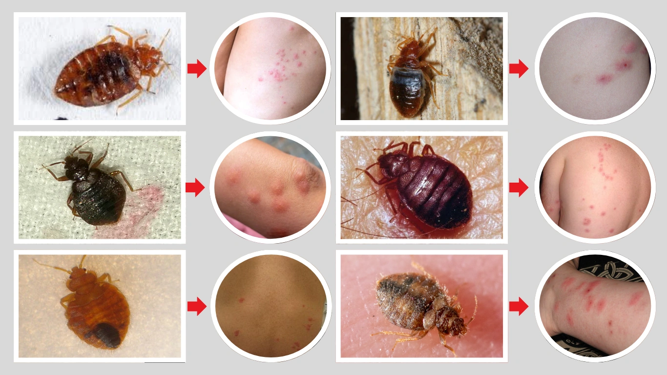
A single negative marine encounter can shut down miles of public coastline, disrupt local economies, and alter public risk perception for months. When a swimmer sustained deep lacerations to the foot at Jones Beach State Park, New York, the subsequent media coverage focused heavily on graphic sensory details rather than the underlying operational mechanisms of the event. To build effective municipal safety protocols, administrators must look past the sensationalized accounts of exposed bone and isolate the exact biological, environmental, and tactical variables driving nearshore marine encounters.
Data compiled by global shark research programs, such as the Florida Museum of Natural History, establishes that unprovoked bites remain statistically anomalous, averaging between 60 and 80 incidents worldwide annually. Yet, as nearshore monitoring technology improves and coastal temperatures rise, municipal beach managers require a standardized framework to process these events objectively. Evaluating these incidents requires analyzing three core pillars: environmental sensory confusion, aerial surveillance limitations, and the immediate operational response matrix.
The Tri-Pod Framework of Nearshore Risk
Nearshore encounters are rarely driven by predatory intent directed at humans. Instead, they are the mathematical product of localized environmental variables overlapping with human recreation. This convergence can be broken down into three distinct operational factors.
+-----------------------------------------------------------------+
|                    THE TRI-POD RISK FRAMEWORK                   |
+-----------------------------------------------------------------+
|  1. Sensory Distortion  | 2. Biomass Convergence | 3. High-Density |
|   Turbid water limits   |   Baitfish migrations  | Human Presence  |
|   visual identification |   draw apex predators  | Elevated target |
|   inducing test bites.  |   into surf zones.     | interception p. |
+-----------------------------------------------------------------+
1. Sensory Distortion and Turbidity
In the surf zone, wave action, runoff, and shifting sands generate high levels of turbidity. For an apex predator utilizing a combination of lateral lines (electro-reception) and visual cues, a human foot moving through highly turbid water lacks a clear silhouette. The classic "jaw-biting motion" described by witnesses in shallow-water incidents is structurally consistent with a predatory test bite, where an animal uses its mouth to identify an unknown object due to the failure of primary visual identification.
2. Prey Biomass Convergence
The presence of predators in shallow waters correlates directly with the movement of schools of baitfish, such as menhaden or Atlantic bunker, close to the shoreline. When environmental conditions drive these massive biomass columns into the surf zone, apex predators follow. The risk function escalates linearly with the density of the prey population; humans swimming at the outer margins of designated swim zones inadvertently position themselves within the active hunting corridor of these species.
3. High-Density Recreative Overlap
Heat waves draw historically high volume into coastal waters, concentrating hundreds of thousands of people into tight, shallow geographic bands. When human density increases within a known wildlife habitat, the probability of random physical interception scales up, independent of any change in animal behavior.
Operational Boundaries of Surveillance Systems
In response to increased sightings, municipalities have deployed drone units and dedicated marine patrols. While these systems enhance observation capacity, they introduce specific technical and operational boundaries that beach managers must account for.
Aerial Drone Limitations
Drones are highly effective in clear, calm conditions, but their utility drops sharply depending on several environmental factors:
- The Glare Vector: Midday sun angles create severe surface glare on the water, obscuring subsurface shadows.
- Water Column Depth and Turbidity: In particulate-heavy surf zones, aerial optics cannot penetrate past the first few feet of the water column, rendering bottom-dwelling or low-swimming species invisible.
- Battery Cycle Bottlenecks: Continuous aerial monitoring requires a rotating schedule of flight times, battery swaps, and pilot handoffs. A 20-minute battery life introduces predictable windows of zero surveillance unless an expensive, multi-drone system is actively maintained.
The Tracking Fallacy
An increase in reported shark sightings is frequently mischaracterized as an expanding predator population. In reality, this trend is a function of increased observation capacity. Deploying drones and deploying specialized watercraft reveals marine life that was previously present but unrecorded. Mistaking enhanced detection for an escalating threat leads to over-regulation, unnecessary beach closures, and misallocated municipal budgets.
The Operational Response Matrix
When an incident occurs, the timeline of the first 60 minutes dictates both the medical outcome for the victim and the systemic disruption to the region. The Jones Beach incident provides a clear sequence of a standard operational response matrix, highlighting where bottlenecks occur and how they are resolved.
[Phase 1: Immediate Hemostasis] ---> [Phase 2: Tactical Vector Closure]
Lifeguards apply direct pressure    Swimming suspended; aerial and water
and extract victim from surf zone.   assets deployed for a 60-minute sweep.
                                                   |
                                                   v
[Phase 4: Risk-Mitigated Re-Entry] <-- [Phase 3: Clear-Zone Verification]
Water re-opened with a hard depth     No target species identified within the
restriction (waist-deep maximum).      immediate geographical perimeter.
Phase 1: Immediate Hemostasis and Extraction
The primary threat to life in a deep-laceration event is hemorrhagic shock. Lifeguards must immediately extract the individual and apply targeted mechanical pressure. In cases involving deep gashes or exposed bone, structural tissue damage requires immediate stabilization before transport. The efficiency of this step prevents a minor or moderate encounter from becoming fatal.
Phase 2: Tactical Vector Closure
Upon confirmation of a bite, the water must be cleared immediately. This action serves a dual purpose: it removes potential targets from the water column and eliminates visual noise for search assets. The closure must extend past the immediate site to cover adjacent zones, accounting for the transit speed of marine wildlife.
Phase 3: Clear-Zone Verification
A standard 60-minute search window allows tactical assets—such as drone crews and watercraft patrols—to verify if a target species remains in the area. This time frame matches the localized movement patterns of transient coastal species. If no large marine life is detected within this window, the immediate threat profile resets to baseline.
Phase 4: Risk-Mitigated Re-Entry
Re-opening a beach with a strict depth restriction (e.g., wading up to the waist) is a calculated compromise. It allows the public back into the managed space while keeping them out of deeper channels where larger predators navigate. This step minimizes economic impact while drastically reducing the probability of a secondary encounter by physically separating swimmers from the deeper coastal drop-offs.
Designing Resilient Coastal Safety Protocols
To move past reactive beach closures, municipal leaders must implement data-backed safety protocols that rely on clear, tiered alert levels rather than emotional responses to media cycles.
A resilient system categorizes risk based on observable metrics: the presence of active bait fish columns, verified predator lengths via aerial telemetry, and local water clarity indices. When these variables align unfavorably, swimming boundaries should contract automatically before an incident occurs. Relying entirely on visual confirmation after a bite has already occurred represents a systemic failure of preventative design.
The long-term solution requires establishing automated data pipelines that fuse drone telemetry, water temperature arrays, and local fisheries data into a unified risk dashboard. Only by replacing sensory panic with structured environmental analysis can coastal cities safeguard both public health and economic continuity.