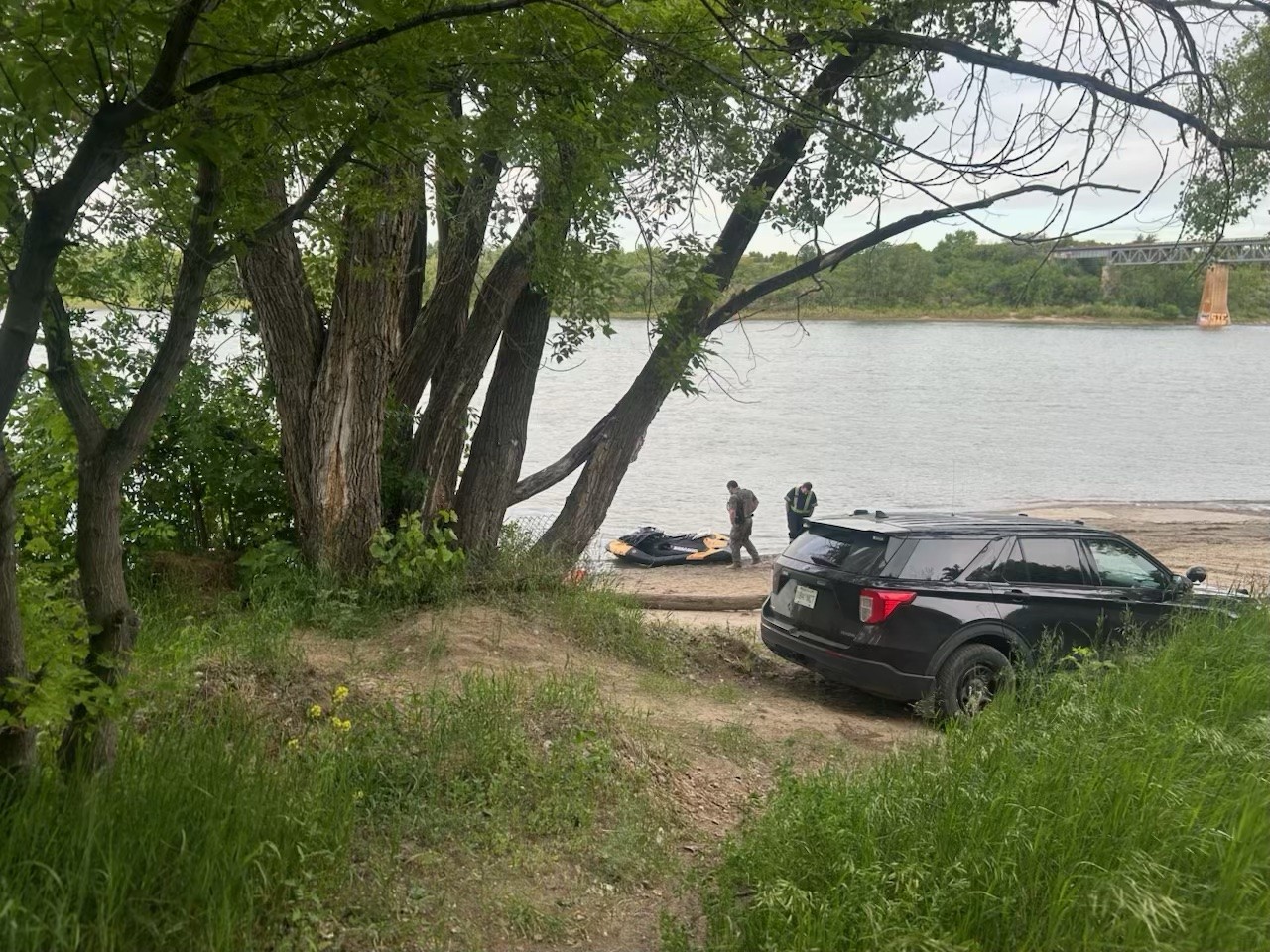
Aquatic search and recovery missions in high-velocity river systems represent complex logistical and hydrological challenges. When an incident occurs involving a personal watercraft (PWC) on a major waterway like the South Saskatchewan River, the transition from an active rescue to a prolonged recovery operation indicates that specific survival thresholds have been crossed. Optimizing these operations requires an understanding of the fluid dynamics, resource allocation constraints, and environmental variables that dictate the timeline of a recovery mission.
The primary objective of a recovery operation is the systematic localization and extraction of a target within a highly dynamic fluid environment. Standard search models often fail in moving water because they treat the search area as a static grid. To achieve operational efficiency, search commanders must instead deploy a fluid-dynamics framework that accounts for vector velocity, riverbed topography, and target buoyancy decay.
The Triad of Riverine Search Variables
A riverine recovery mission relies on three primary variables. Managing these inputs determines the probability of detection (POD) and ensures the safety of surface and sub-surface assets.
1. Hydrological Velocity and Vector Mechanics
Rivers are not uniform blocks of moving water; they are stratified, high-friction environments. The South Saskatchewan River features highly variable flow rates influenced by seasonal melt, upstream dam releases, and localized weather patterns.
The surface velocity of the water represents the maximum speed of the current, typically found in the center of the channel. Near the riverbed and along the banks, boundary-layer friction drastically reduces velocity, creating micro-environments where a target can become lodged.
The structural challenge for recovery teams lies in calculating the drift vector. A target entering the water at a specific point does not move in a straight line downriver. It is subjected to cross-currents, lateral eddies, and helical flow patterns caused by bends in the river. This expands the theoretical search area exponentially for every hour that elapses post-incident.
2. Bathymetric Topography and Sub-surface Obstacles
The floor of a major river system is rarely uniform. The South Saskatchewan Riverbed contains sandbars, deep scour holes, submerged debris, and structural remnants such as bridge pilings.
- Scour Holes: Depressions formed by accelerated water flow around obstacles or bends. These areas exhibit lower current velocities at their deepest points, acting as natural collection traps for heavy debris or non-buoyant targets.
- Strainers and Snags: Submerged trees, root balls, and human-made debris allow water to pass through while trapping solid objects. These represent severe hazards for dive teams and frequently cause search equipment to snag.
- Shifting Sandbars: High sediment transport rates mean the riverbed configuration changes daily. A target localized in a specific grid coordinates on day one can be buried under centimeters of silt by day three, rendering standard visual and sonar sweeps ineffective.
3. Target Buoyancy Dynamics
The physics of a human target in an aquatic environment follows a predictable biological and physical trajectory. Initial buoyancy depends heavily on the presence of a personal flotation device (PFD) and the amount of air trapped in clothing.
If a PWC operator is un-PFD'd or if the device fails, the target becomes negatively buoyant once consciousness is lost and the lungs fill with water. The target sinks to the riverbed, where it moves along the bottom via bed-load transport—rolling or sliding along the substrate driven by the lower-level current.
The timeline for a target to resurface is governed by water temperature and depth, which control the rate of bacterial decomposition and the subsequent generation of gases within the body. In cold water environments, this process is severely delayed, sometimes stretching the recovery timeline from days to weeks. This delay requires search operations to transition from short-term tactical deployments to long-term sustainable monitoring.
Operational Resource Allocation and the Search Funnel
Executing a recovery mission requires narrowing a vast geographic territory down to high-probability target zones. This process uses a phased resource deployment strategy to balance asset exposure against the probability of detection.
[Phase 1: Surface & Aerial Reconnaissance] -> High Speed, Low Resolution
                  ↓
[Phase 2: Side-Scan Sonar & Hydroacoustic Mapping] -> Medium Speed, High Resolution
                  ↓
[Phase 3: Targeted Sub-surface Asset Deployment (ROV/Divers)] -> Low Speed, Precision Target Verification
Surface and Aerial Reconnaissance
The initial phase uses high-mobility assets to scan the river surface and accessible shorelines. Remote Piloted Aircraft Systems (RPAS) or drones provide high-resolution aerial imaging, allowing operators to scan large areas of shallow water, sandbars, and debris lines without risking personnel.
The limitation of surface reconnaissance is its complete dependence on target visibility. If the target is submerged or the water turbidity is high, surface assets yield zero data regarding sub-surface locations.
Side-Scan Sonar and Hydroacoustic Mapping
When surface searches yield no results, operations shift beneath the surface using towed side-scan sonar arrays. These systems emit acoustic pulses that create a detailed image of the river bottom based on the intensity of the reflected echoes.
Sonar operators look for acoustic shadows—areas where an object blocks the sound waves, indicating a structure rising above the riverbed. The effectiveness of sonar is heavily degraded in moving water by boat movement caused by currents, air bubbles entrained in the water column, and high suspended sediment loads, which scatter acoustic energy and create visual noise on the monitor.
Targeted Sub-surface Assets: ROVs vs. Human Divers
Once a sonar anomaly is identified, verification requires close-range inspection. This is the highest-risk phase of the operation.
Remotely Operated Vehicles (ROVs) equipped with tethered cameras and gripping arms are the preferred first line of deployment. They can operate continuously without decompression limits and pose zero risk to human life. However, umbilical cables are highly susceptible to current drag and entangling hazards in river environments with heavy debris.
Human dive teams are deployed when mechanical solutions fail or when precise manipulation is required to extricate a target. River diving is conducted under zero-visibility conditions, where divers rely entirely on tactile feedback. The physical stress of fighting current velocity limits a diver's bottom time and drastically reduces the search efficiency per dive cycle.
Environmental Bottlenecks and Risk Mitigation
The management of a recovery mission must constantly evaluate the trade-off between the necessity of target recovery and the risk posed to emergency personnel. The operational environment presents three primary bottlenecks that can pause or alter the search strategy.
The first limitation is water turbidity. High sediment loads reduce underwater visibility to near zero. Under these conditions, visual searches by divers or ROV cameras are impossible, forcing reliance on acoustic imaging or physical tactile searches.
The second limitation is current velocity thresholds. Most public safety diving agencies establish strict velocity cut-offs (often between 1.5 to 2 knots) above which tethered diving is prohibited due to the risk of diver downstream pinning or equipment failure. When river flows exceed these thresholds, physical sub-surface recovery stops, and the operation reverts to passive shore monitoring and periodic sonar sweeps from heavily powered surface craft.
This creates a structural bottleneck where operations may appear stalled to external observers, but are actually executing a mandatory risk-mitigation protocol dictated by environmental metrics.
Strategic Operational Forecast
For operations on major systems like the South Saskatchewan River, the trajectory of a recovery mission depends on early data collection. If the initial 48-hour window passes without a successful localization, the probability of a rapid recovery drops significantly due to target dispersion and burial.
The optimal strategic play for incident command involves establishing permanent downstream containment lines using passive detection methods while waiting for environmental conditions—such as dropping flow rates or clearing turbidity—to favor high-resolution sonar mapping. Transitioning from active, high-tempo field operations to targeted, intelligence-led deployments prevents personnel burnout, minimizes equipment loss, and maintains a sustainable operational posture until the physical variables of the river system shift in favor of detection.

/https://tf-cmsv2-smithsonianmag-media.s3.amazonaws.com/filer/c6/97/c697b065-e0bd-4970-81ea-819779296b91/u765404inp.jpg)
